Skip to content
Menu
Home
COVID-19
Health Research
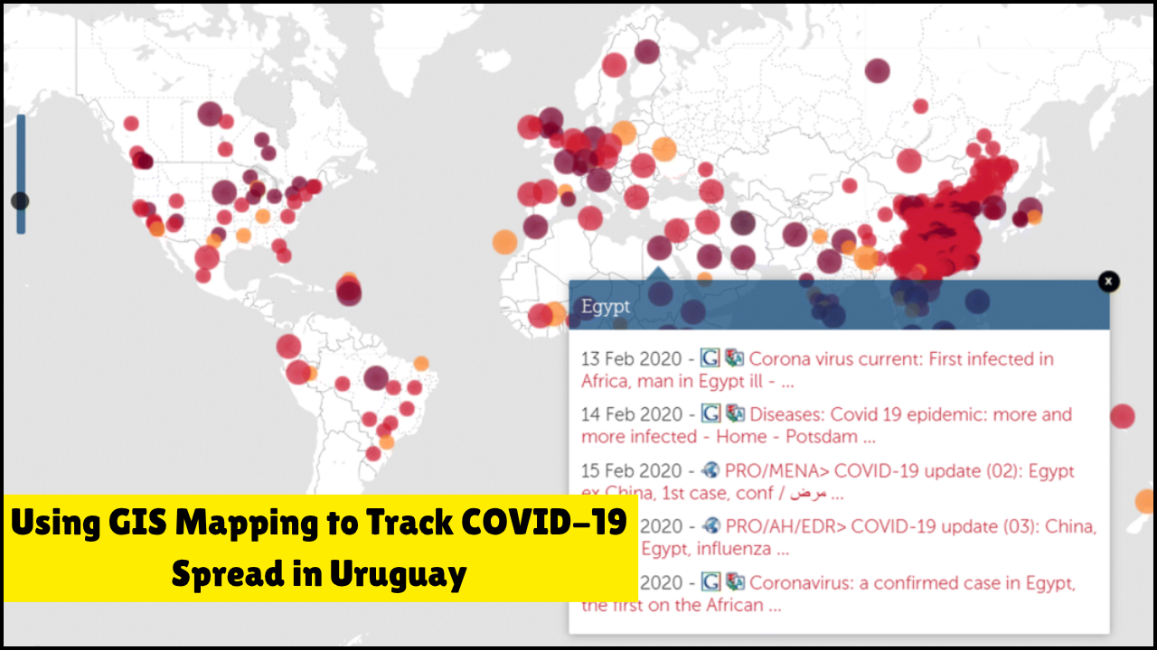
Using GIS Mapping to Track COVID-19 Spread in Uruguay
Geographic Information System (GIS) mapping provided a transformative method for analyzing and controlling the spread of COVID-19 in Uruguay. Real-time ...
Prachi
July 28, 2025
Search for: